2.-15.9.2023
Autumn is a typical time for long vacation in high mountains. September offers stable weather conditions, summer storms are over, temperature is quite comfortable and it’s still far away from rainy November.
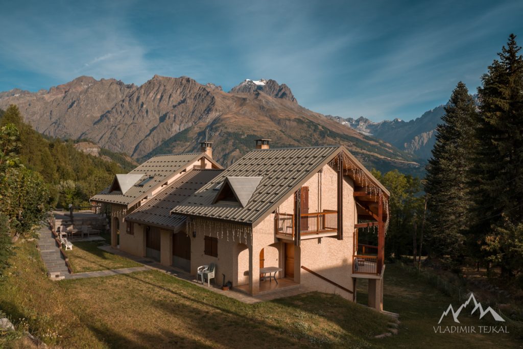
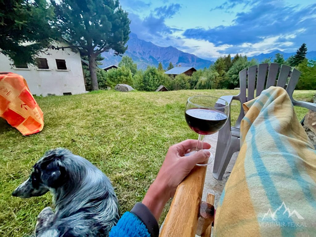
After last year’s trip to Spain Pyrenees I decided not to travel 2500 km and I have chosen France as a final destination. It took me a while to find an area where you can do all kind of sport activities. I found a city of Briançon as a perfect destination for hiking, running, road and mountain bike cycling. I rented a small studio in the village of Puy-Saint-Vincent and it was a perfect place to stay. Just 30 km from Briançon and located in the middle of high mountains, with a small garden and view of the Tete d’Aval summit at the border of Écrins National Park.
Hiking
My hiking plans had to be changed immediately after the arrival. First and most important founding, dogs are not allowed in the Ecrins National Park, even on the leash. And the second problem, Eddie was bitten by a neighbour’s dog the first evening and could not hike as much as I planned. Despite these circumstances, we were able to make amazing hiking trips.
Saint-Antoine, Chambran
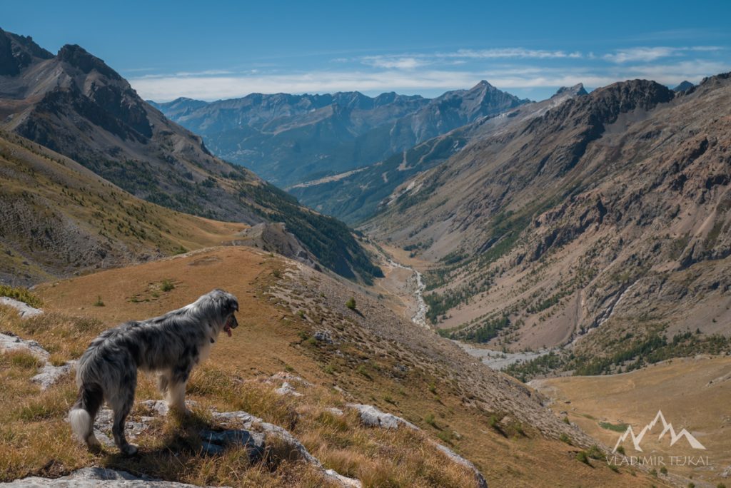
The first day of hiking while Eddie was still healthy. I planned first trip to the Ecrins. When I arrived to Chambran parking lot and found a sign with dog’s restriction I had to change plans quickly. One side of valley headed to the Ecrins, the other side led outside of the part. So we hiked to the Col de l’Eychauda (2425 m) and back. It was just short 17 km trip with 1000 m ascent. Then I returned back to plan next trips outside of the park.
Puy-Saint-Vincent, Tête d’Oréac (2090 m)
It was a first day after Eddie was bitten by the neighbour’s dog. Eddie had still a big hole in his rear leg so I took him to vet and the vet sew it up by two stitches. Eddie was fine and did not pay any attention to the scarf. I started with him slowly, we did a trip from our mountain studio to the summit of Tête d’Oréac (2090 m). Just 12 km hike with less than 800 m ascent.
Narreyroux d’Amont, La Pendine (2700 m)
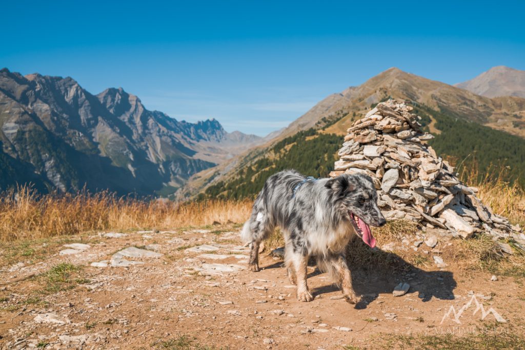
Another short trip while Eddie was recovering started from a parking lot at Narreyroux d’Amont. We headed up to the Col du Bal (2601 m) and then crossed the rocky edge to the summit of La Pendine (2700 m). Valley of Narreyroux is wide and offers many routes to different directions. Most of the are long and steep so this trip to the summit of La Pendine was the easiest one with only 1200 m ascent. We descended down the valley along the ski slope and finished the trip with 13 km in our legs.
Puy-Saint-Vincent, Narreyroux valley
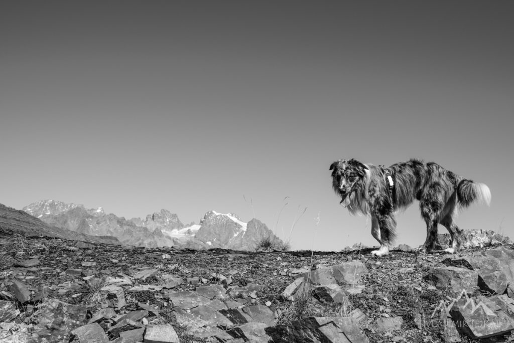
Another “recovery” trip right from our mountain studio in Puy-Saint-Vincent. Eddie removed stitches one night, we ended up at Vet again to replace stitched. After 2 days of rest I started again slowly, but Eddie did not really care that he still has a hole in his leg and he was running all day. It was one of the trip with no planned destination, no planned route. We just rambled around Puy-Saint-Vincent. Just 13 km and 600 m ascent as a good start for next days.
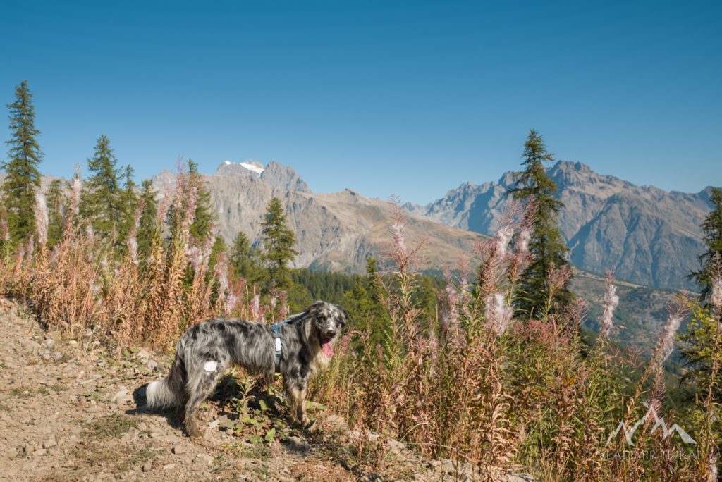
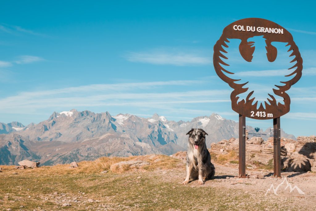
Col du Granon and Col du Galibier
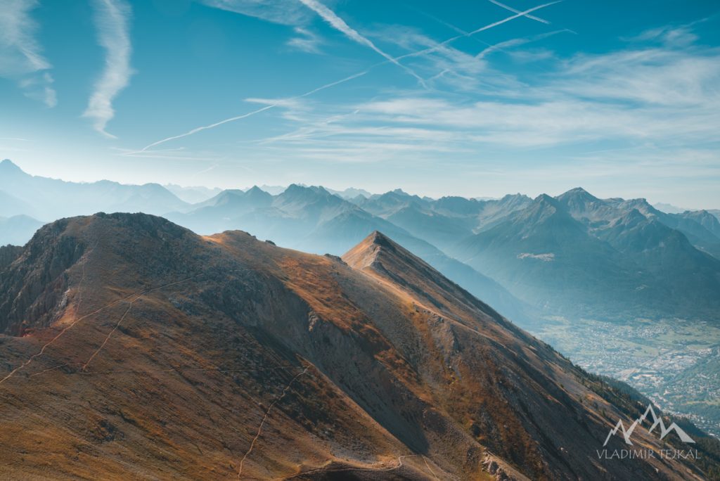
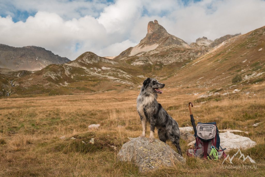
If I should choose one of the best hiking trips it would be the one from Col du Granon along the mount ridge towards to Briançon. This trip was easy with magnificent vistas to mountains and valleys all around. We went as long as possible to the point where the route starts to steeply descend down to Briançon. It was 13 km, 700 m ascent, and many photos taken in this area.
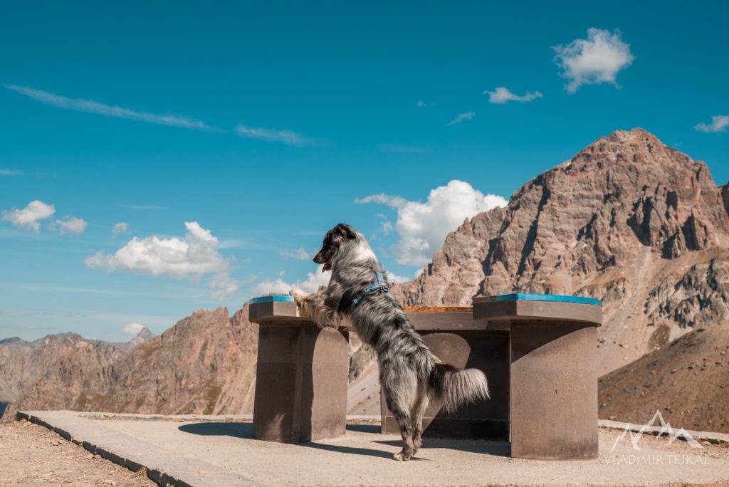
Since the trip from Col du Granon was short I drove to the top of Col du Galibier. We did not hike there too much. I just spent around 30 minutes walking and photo shooting. It was on Monday so the pass was not as crowded as during weekend. I stopped by at Col du Lautaret when driving back for quick dinner.
Névache valley
Starting from a small village of Laval in the end of Névache valley located north to Briançon. It was an easy trip to the lakes Rond and Grand Ban. Eddie was fine and recovering was in great progress so we continued to the passes Col des Cerces (2574 m) and Col des Rochilles (2496 m). I stopped at the Refuge des Drayères when returning back to relax for a while. In the end of the trip, we had 17 km and 750 m ascent. Eddie was ready for the last big trip.
Vallée Étroite to Mont Thabor (3178 m)
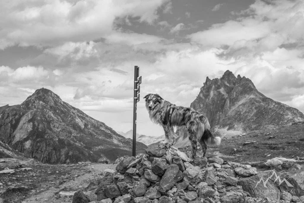
Last hike of our two weeks vacation. I drove to the Étroite valley all the way up to the village of Granges. There was the only target I was aiming, Mont Thabor (3178 m). Just 10 km far away, but with ascent of 1500 vertical meters. Weather was comfortable for hiking, sky was cover by clouds and we were heading to the summit with ease. And 2:30 hrs later we were standing on the top of Mount Thabor in dense fog with visibility less than 50 meters. There was no time to wait for clear sky so we turned back down the valley. It was most difficult trip but we made this 20 km in less than 4 hours with a nice ascent of 1500 m.
Mountain Biking
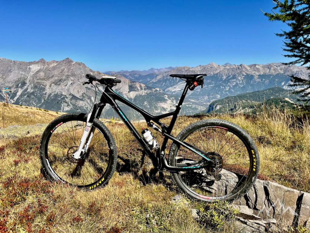
The village of Puy-Saint-Vincent is known for its mountain and downhill biking events. There might be more than 150 km of trails and I was able to ride a bike right from the studio where I stayed. Go down to s and visit a local bike shop Jacky sport, ask for a map and explore.
My favourite downhill started from Lauzes cableway station going to the upper parking lot in Narreyroux valley. Then continue down along the river to Chapelle Notre-Dame de Narreyroux and turn left to the trail DH du Ravin de la Fouillette. And ride down to the river L’Onde. It was almost 900 vertical meters drop down the valley.
Road Cycling
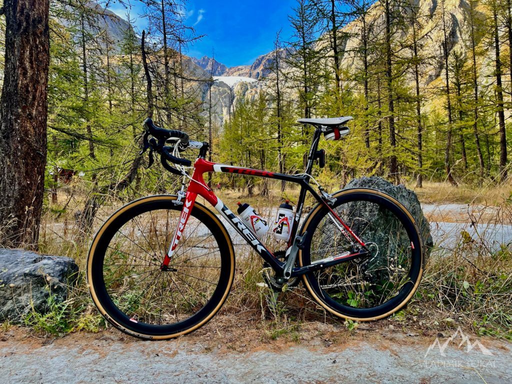
While Puy-Saint-Vincent is a perfect place for mountain biking, starting a road cycling trip from the studio meant I had to climb 500 vertical meters when returning back. All the iconic climbs start from Briançon. There is an amazing trail from Les Vigneaux to Prelles going above the river La Durance with amazing view to the valley. Main road from Prelles to Briançon slightly inclines, just about 1%. But the wind blowing through the valley is so strong that I was able to ride 40km/h with easy effort. When I got to Briançon I had an access to Col d’Izoard (2361 m), col du Granon (2413 m), col du Lautaret (2057 m) and col du Galibier (2642 m).
Chalet Refuge du Pré de Madame Carle (1875 m)
The first road ride just to discover the area was short and fast. Just 20 km from the studio and 700 vertical meters to the entrance point of the national park Écrins with a view of glaciers.
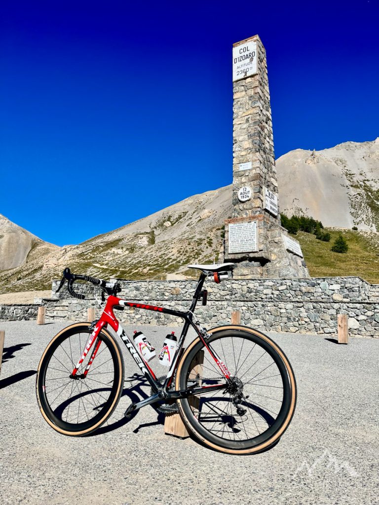
Col d’Izoard (2361 m)
I’ve heard the name of Col d’Izoard just few times while watching La Tour de France but never seen the race. I did not know what to expect. But the climb was easier than I expected. Route from Briançon has about 19 km with 1100 vertical meters. First half was fast thanks to wind blowing up from the valley. Second part started inclined more up to 8% so I was riding up at easy pace.
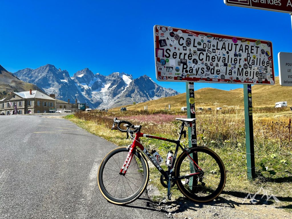
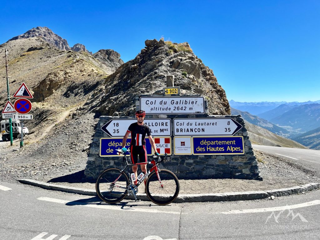
Col du Lautaret (2057 m) and col du Galibier (2642 m)
I was heading to Col du Galibier during my second trip. The first part from Briançon to col du Lautaret was new to me. But it was just right for warming up legs with 30 km and 900 vertical meters. I knew the next part to Col du Galibier from my previous trip back in 2014. I knew what to expect and enjoyed the climb with 8 km and 600 vertical meters.
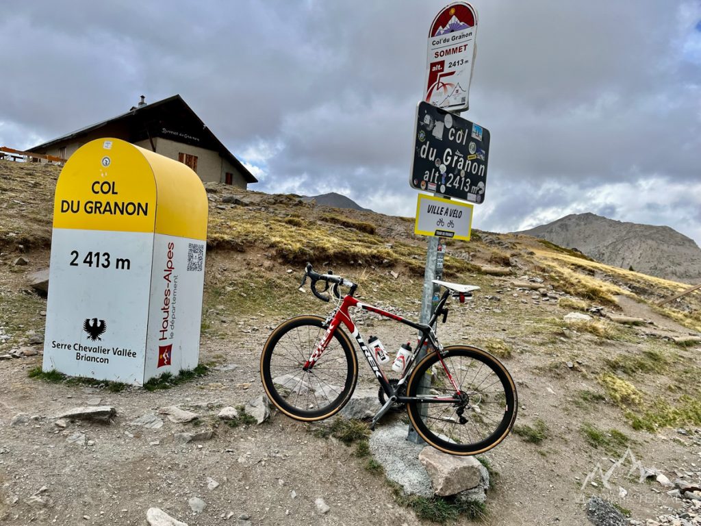
Col du Granon (2413 m)
I had no clu how the route to col du Granon looks like. I’ve never heard before about this pass. So I first drove up for a hike trip few days before. Then I knew it was going to be brutal. An average incline above 10% during last 8 km. I had to choose the easiest gear at the bottom of climb and I realised I am too old for having 53×39 in front and a cassette with 25 cogs. Entire climb from Briançon to the top was about 17 km and 1100 vertical meters, but 1000 vertical meters is during last 8 km.
And how was the trip? Just amazing.
>> Full Photogallery on Zonerama <<
>> Photos from phone on Zonerama <<